
NYC Boundary Maps
Mon Feb 1, 2016
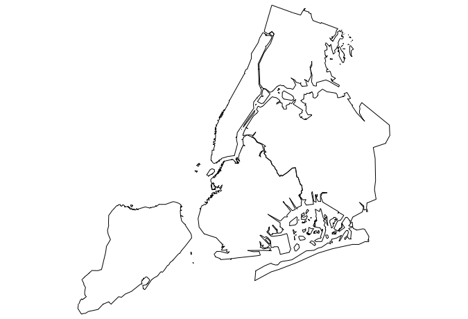
I created an R package to load NYC Borough boundaries that is available on github.
#load and use the map
devtools::install_github("zachcp/nycmaps")
libary(nycmaps)
library(maps)
map(database="nyc")
A few notes
- check the
data-rawdirectory for a Makefile on Downloading and converting the geojson into the R-binary format - Most regions/islands have been names but I may be missing some.
- Many of the Jamaica Bay Islands are not included (I took them all out and then added back the big ones around Cross Bay Boulevard)
- when loading this sets a /GlobalEnd defining where the map files live. To be incorporated in
Mapsor included in CRAN this is a no-no but I don’t a better way.